
Ask a guest how many islands make up Phuket and the answer is almost always one. It is the answer the name invites, and it is wrong by a factor of thirty-three.
Phuket province is recorded as Phuket island plus 32 smaller islands. Thirty-three in total, inside a province of 547 square kilometres, the second smallest in Thailand. Most visitors see two or three, and the ones they have heard of are often not Phuket’s own at all, but places Phuket’s piers happen to reach.
Phuket is not one island with boats around it. It is an archipelago of thirty-three, and the other thirty-two are the reason people come back.
What Phuket’s piers actually reach
This is where the province count stops being the whole story. Phuket has 33 islands of its own, but the reason it became the base for this entire coast is that its piers reach three provinces in a day. Chalong, Rawai, Ao Po and Boat Lagoon between them open up the Racha group, Phang Nga Bay, the Khai islands, Ko Yao, Phi Phi and, in season, the Similans and the Surins.
Almost none of those are in Phuket province. All of them are Phuket boat trips. Knowing which is which is not trivia: the province sets the park fee, the crossing time and, in two cases, whether the islands are open at all that month.
What Phuket’s piers reach
Chalong · Rawai · Ao Po · Boat Lagoon
Four piers. Three provinces. One day, if the wind agrees.
Ko Hae
Coral Island
About 5 km · 15 minutes
Shortest real crossing, from Rawai or Chalong. Two beaches: Long takes the volume, Banana stays quiet and is far better underwater.
Ko Racha Yai
About 12 km south
The clearest water reachable on a half day. Five resorts, no nightlife. Siam Bay is the beach below.
Ko Racha Noi
About 19 km south
Uninhabited. No pier, no shade, no facilities. For divers and for privacy, not for families.
Khai Nai
Khai Nok · Khai Nui
Short crossing, east coast
Inside Ao Phang Nga National Park. Tiny and vivid, and heavily programmed by group boats. Go outside the middle of the day.
Ko Yao Yai
Ko Yao Noi
About 30 minutes from Ao Po
Quiet enough to deserve a night rather than a day.
Phang Nga Bay
Hong and the karsts
About an hour from Ao Po
Limestone towers, sea caves and hidden lagoons. A kayak trip more than a beach trip, and tide dependent.
Phi Phi
Roughly two hours from Rawai or Chalong
The most requested trip on the island. Worth it early, worth it overnight, not worth it at midday.
Similan Islands
About 70 km northwest
World class diving. Named for the Yawi word for nine, and eleven islands since Ko Bon and Ko Tachai were added in 1998.
Closed 15 May to 15 OctoberSurin Islands
Further northwest again
Liveaboard territory rather than a day trip, and the reef most divers on this coast rank first.
Closed 15 May to 15 OctoberCrossing times are from the sheltered side and assume a private boat. In the southwest monsoon, May to October, the west facing crossings are the ones that get cancelled.
Four piers on one island reach three provinces before lunch. That, and not the beaches, is why Phuket became the base for this whole coast.
The Similans, and the detail hidden in the name
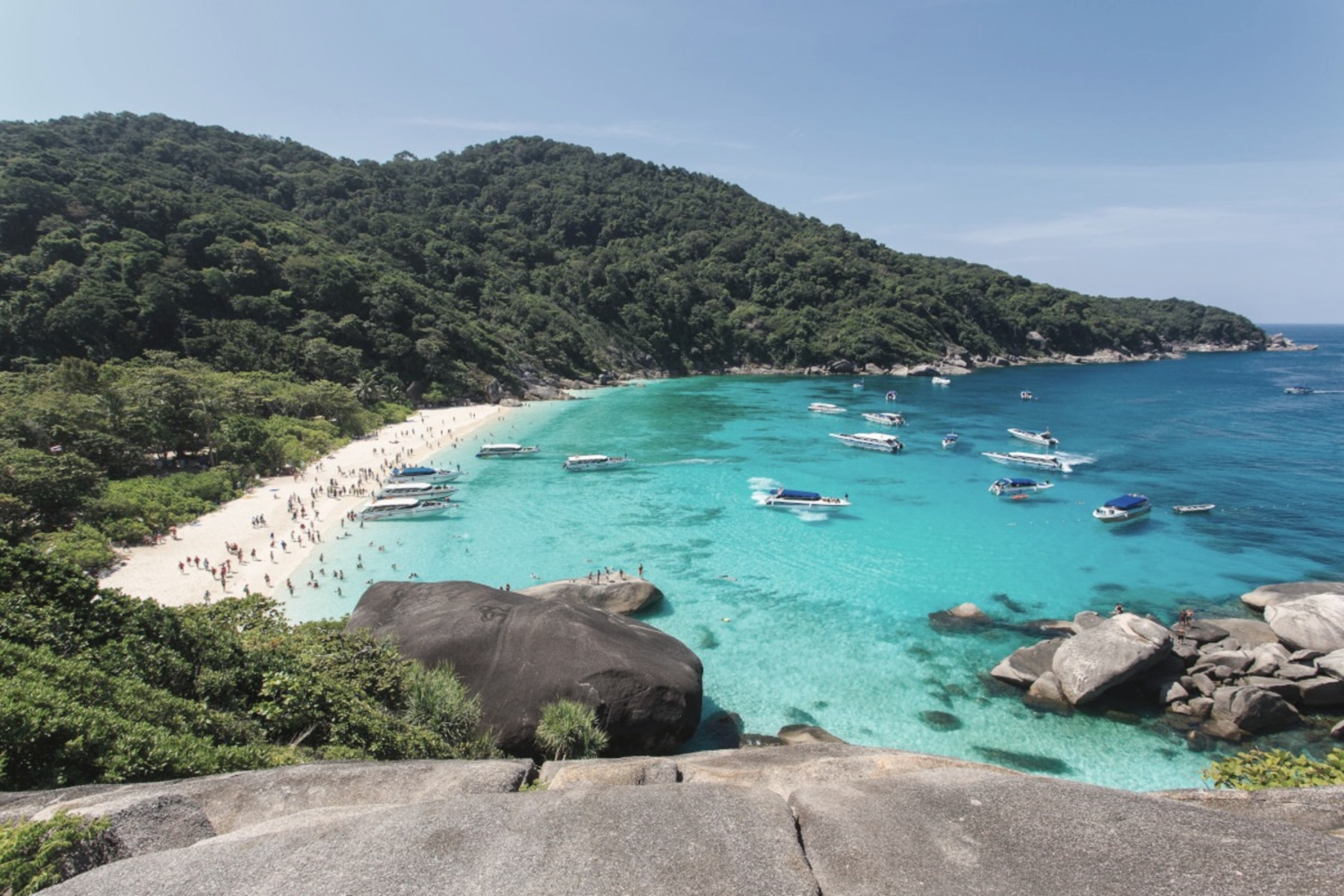
The Similans are the serious end of what a Phuket charter can reach, about 70 kilometres off the Phang Nga coast, and there is a fact buried in the name that almost nobody who books the trip knows.
Similan is a Yawi word meaning nine. Nine islands. The park, however, now contains eleven: Ko Bon and Ko Tachai were added in 1998, sixteen years after Mu Ko Similan National Park was established in 1982. So the name has been out of date for nearly thirty years, and the archipelago is still called after a number it outgrew.
The second thing worth knowing is harder and more useful. Both Mu Ko Similan and Mu Ko Surin close completely for five months a year. In 2026 that window ran from 15 May to 15 October, and the parks stated two reasons: safety, because the Andaman enters the monsoon, and recovery, to let the reef rest before the next season.
The two best archipelagos on this coast close for five months a year. Not for the weather. For the reef, which gets the half of the year we do not.
That closure is the clearest official statement of the point in the next section. The authorities shut the western islands for exactly the months the southwest monsoon owns them. It is the same wind that decides which of Phuket’s own coasts is worth a morning.
Racha Yai, and the beach in the photograph above
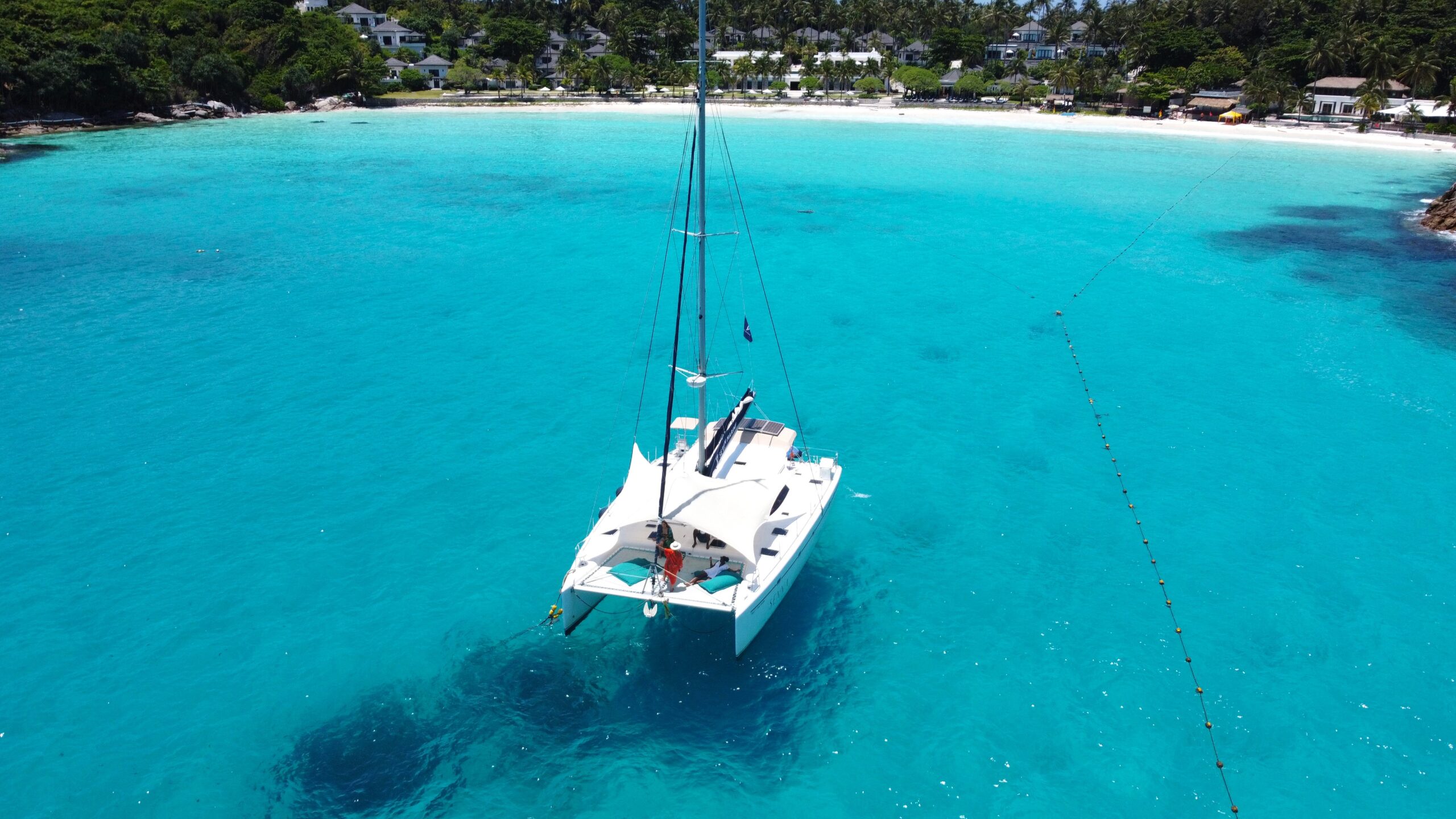
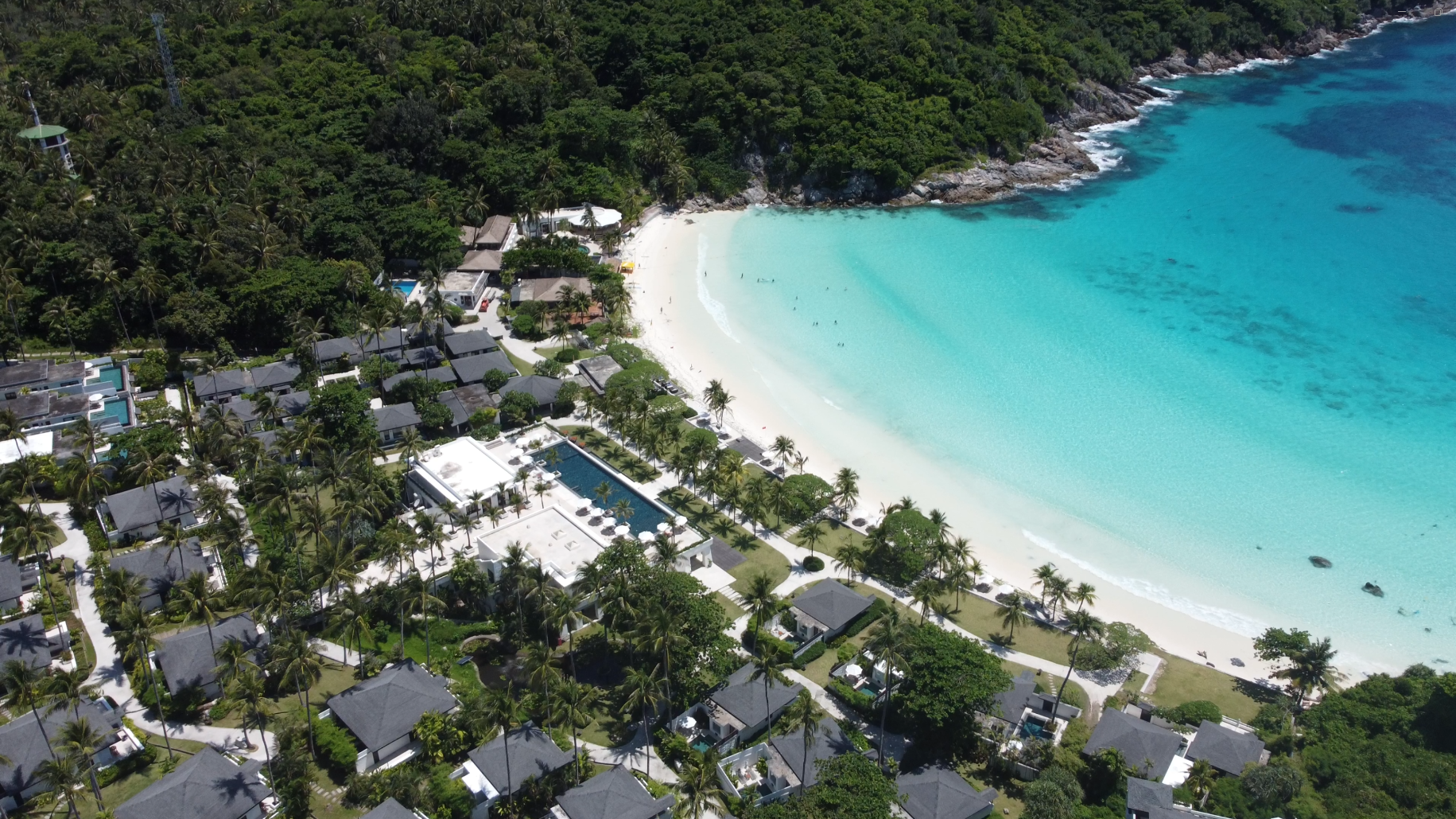
If one island deserves to be named first it is Racha Yai, and the frame above is Siam Bay on its western side. It is about twelve kilometres south of Phuket, which makes it one of the closest genuinely clear-water islands in the province, and it is administratively Phuket rather than somewhere else.
What makes it unusual is what has not happened to it. There are roughly five places to stay on the whole island, no nightlife, and almost nothing operating independently of the resorts. Twelve kilometres from one of the busiest island economies in Asia, and the loudest thing on the beach is the water.
The sand is the reason divers and photographers keep going back. It is fine, white and steeply shelved, which is what produces those bands of colour in the bay rather than a single flat blue. Racha Noi, its sibling, sits a further seven kilometres south and is uninhabited. No resort, no pier, no shade. For guests who want a bay to themselves, that is the point.
Coral Island, the one that rewards going late
Ko Hae, which everyone calls Coral Island, sits about five kilometres off the south east coast. Boats run from Rawai and from Chalong, which means it is the shortest real crossing available from our side of the island: close enough that a guest can leave after breakfast and still be back for a swim at the villa.
It has two beaches and they behave completely differently. Long Beach takes the volume, and the coral there has paid for it. Banana Beach, around the corner, stays quiet, shaded and far better underwater. The island sits inside a marine preserve, which is why the reef on the quieter side is still worth a mask.
The mechanism worth knowing is the timing. Group boats work to a fixed departure and return window in the middle of the day. Arrive outside it and the same island is a different place. That single piece of scheduling is the difference between a photograph you keep and a photograph with forty strangers in it.
Phi Phi, and what happened to the most famous beach in Thailand
Phi Phi is the trip guests ask for by name, and it is not in Phuket. It sits in Krabi province, roughly two hours from Rawai or Chalong, inside Hat Noppharat Thara and Mu Ko Phi Phi National Park. The crossing is long enough that the hour of departure decides everything.
The part worth knowing is what happened at Maya Bay, because it is the clearest example on this coast of what volume does to a beach. Maya Bay is 250 metres long and 15 metres wide. In the 2016 low season it was taking around 5,000 visitors a day, served by fourteen toilets. Thailand closed it in 2018, first for four months, then indefinitely, and it stayed shut for close to four years.
It reopened in early 2022 under a completely different regime. No boats in the bay, no swimming beyond knee depth, about an hour ashore per visitor, a daily cap set at 2,000 rather than 5,000, and a park fee of 400 baht. It also now closes every year from 1 August to 30 September, reopening on 1 October.
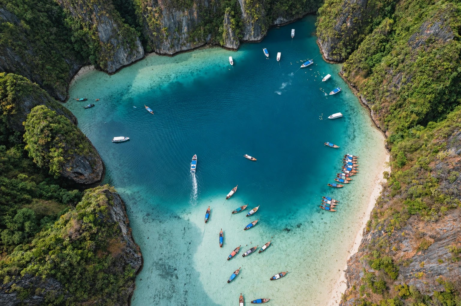
So there are two honest ways to do Phi Phi. Go early, ahead of the day boats out of Phuket and Krabi, and be leaving as they arrive. Or stay a night and have the lagoons at the hours nobody photographs. The third way, arriving at midday with everyone else, is the version that makes guests wonder what the fuss was about.
Maya Bay is 250 metres of sand. It was taking five thousand people a day. The country closed it for four years, and that is the most useful fact anyone can know about this coast.
The islands of Phuket province worth a guest’s day
These sit inside the province itself. Distances are from the main island, and the character notes are what actually decides whether a guest enjoys the trip.
Inside the province itself
The islands worth a guest’s day
Thirty-three islands carry the Phuket name. These are the ones that repay the crossing.
south
Ko Racha Yai
Clear water, fine white sand, five resorts, no nightlife. The strongest single day trip in the province.
south
Ko Racha Noi
Uninhabited. No facilities, no shade. For divers and for privacy, not for families.
south east
Ko Hae · Coral Island
Two beaches, one busy and one quiet. The shortest crossing from Rawai and Chalong.
Ko Sire
The second largest island in the province at 8.8 square kilometres, joined to Phuket by a bridge. A sea gypsy village rather than resorts.
Ko Maphrao · Coconut Island
A short crossing from the east side. Residential, quiet, and a completely different pace from the west coast.
Ko Naka Yai
Low key, long sandbars at low tide, almost no day traffic.
Ko Lone
Close, green and largely undeveloped. The island most guests can see from Rawai and never visit.
Named in the provincial record among the thirty-three: Ko Sire, Ko Lone, Ko Maphrao, Ko Naka Yai, Ko Racha Yai and Ko Racha Noi. The rest are small, many are uninhabited, and a handful are little more than rock and a reef.
Hidden beaches, and why they stay hidden
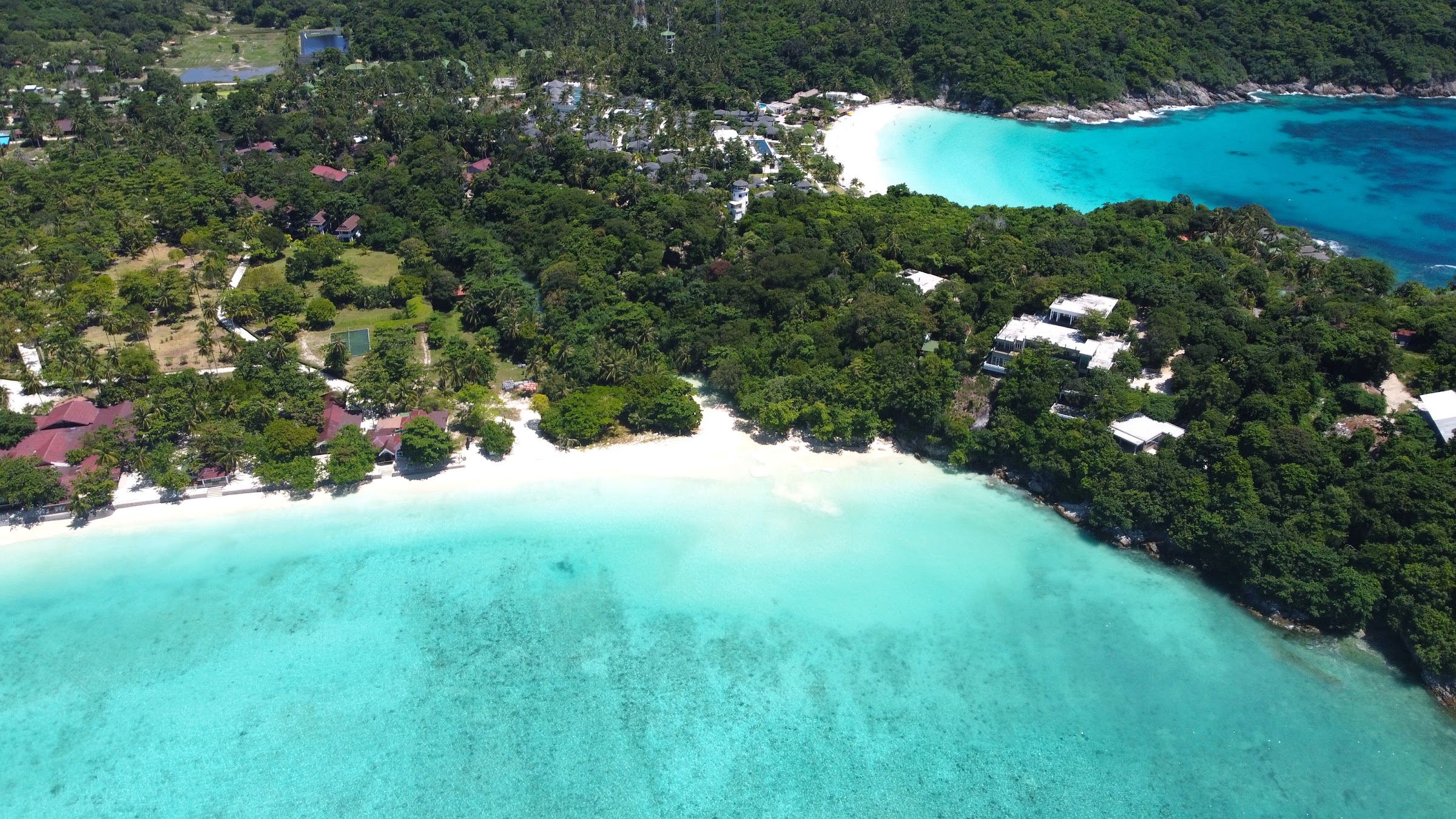
The beaches guests remember are rarely the ones with a road to them. On Phuket itself, the short list that actually delivers has one thing in common: the access is difficult enough to filter the crowd.
- Freedom Beach. On Phuket, not an island, and reachable in practice only by longtail from Patong or down a steep trail. That is precisely why it looks the way it does.
- Banana Beach, Ko Hae. Around the headland from the busy side, shaded, and the better reef of the two.
- Ao Sane. Past Nai Harn, rocky rather than sandy, and one of the few places on the west coast where you can snorkel straight off the shore.
- Ya Nui. A small bay under Promthep, sheltered from the worst of the southwest swell, which makes it usable when the big beaches are closed out.
- Laem Ka. East side, shallow, calm, and the sensible answer when the west coast is in monsoon.
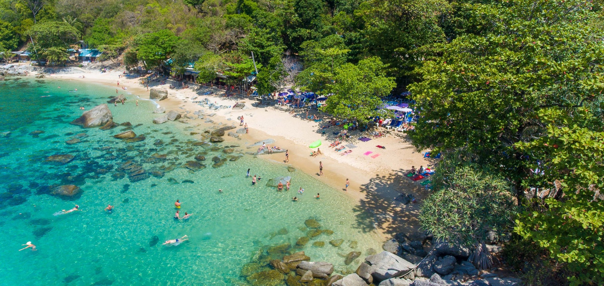
Freedom Beach has no road to it. That is the whole reason it still looks the way it does.
The mechanism the brochures leave out: the wind decides everything
This is the single most useful thing an owner or a guest can understand about island days here, and it is almost never explained.
Phuket sits on the Andaman side of the peninsula with the southwest monsoon running roughly May to October. In those months the swell hits the west coast directly. Patong, Kata, Kamala and Nai Harn get surf, undertow and red flags, and west facing island crossings turn into a rough hour in a small boat.
The east and the south are sheltered in exactly those months. Rawai, Chalong, Laem Ka, Ko Lone, Ko Hae and the Racha group stay workable when the postcard beaches are unusable. From November to April the pattern reverses and the west coast becomes the calm side.
So there is no such thing as a good island day in Phuket in the abstract. There is only the right island for that week’s wind, and a guest who is sent to the wrong coast in the wrong month comes home with a bad review of a beautiful place.
The mechanism behind the season
Which coast is open, month by month
There is no good island day in Phuket in the abstract. There is only the right coast for that month’s wind.
western islands
south coast
Mu Ko Surin
The northeast season, November to April, opens the whole archipelago. The southwest monsoon, May to mid October, closes the two national parks outright and hands the season to Rawai, Chalong, Laem Ka, Ko Lone, Ko Hae and the Racha group. Late October is the safest fortnight in the year to promise a guest a clear day.
The mechanism nobody draws
Which coast the wind is on
Phuket has two seasons and they use opposite sides of the island. It is the whole reason a good island day is a question of where rather than of budget.
Southwest monsoon
May to mid October
Open: Rawai, Chalong, Laem Ka, Ko Lone, Ko Hae and the Racha group. Closed out: Patong, Kata, Kamala and Nai Harn, and Mu Ko Similan and Mu Ko Surin shut completely.
Northeast season
November to April
Open: the whole archipelago. Patong, Kata, Kamala and Nai Harn are calm, and the western parks admit visitors again from around 15 October. The east still works, with flatter light and more sediment.
A schematic rather than a navigational chart: the coastline is simplified and the arrows show the prevailing direction, not any particular day. The seasonal pattern and the coast by coast behaviour are our own operating experience. The closure of Mu Ko Similan and Mu Ko Surin from about 15 May to 15 October is a published park decision. We plan every charter from the sea state on the morning itself, never from the season alone.
The wind decides which coast is beautiful. The calendar only tells you when.
What actually makes a charter day good
Owners often assume the boat is the variable. It is the least important one. What decides the day, in order:
- The departure point. Leaving from the sheltered side in monsoon saves an hour of discomfort and often makes the difference between a trip and a cancellation.
- The hour. Group boats move on a fixed midday window. Going early or late changes the island completely, at no extra cost.
- The tide. Sandbars, snorkelling entry and where a tender can land are all tidal. A day planned against the tide table is a different day.
- The sea state that morning, not the forecast for the week. Conditions here are local and change across a few kilometres of coast.
- The match to the guest. A family with young children and a couple of divers want opposite islands. Sending both to the same place satisfies neither.
None of that is about the vessel. It is about knowing the water, and it is the part a concierge either has or does not.
How we plan it
We do not hand guests a menu of tours. We look at the month, the wind that week, the tide, who is actually staying in the house, and then we build the day around the island that suits all four. In the southwest monsoon that usually means the Racha group, Ko Hae or the eastern bays. In the dry season the whole west coast and the northern islands open up.
For owners, this is part of why guest reviews move. A guest who spent a flat, clear morning in Siam Bay writes about the villa differently from one who spent two hours being thrown around on the way to a crowded island in the wrong month.
If you are staying with us and want an island day built properly, tell your villa manager what kind of day you want rather than which tour you want, and we will work backwards from the water. If you own a villa here and your guests are booking generic tours off a platform, that is revenue and review score leaking out of the property.
Sources. Island count, provincial area and administrative structure: Phuket province public record, read 24 September 2026. Racha Yai distance, accommodation count and Racha Noi: Thai Island Quest, 2026. Ko Hae distance, beaches and access from Rawai and Chalong: Wikivoyage, read 24 September 2026. Similan island count, the Yawi meaning of the name, the 1998 addition of Ko Bon and Ko Tachai and the 1982 establishment of the park: Mu Ko Similan record, read 24 September 2026. The 15 May to 15 October 2026 closure of Mu Ko Similan and Mu Ko Surin and the reasons given: Nation Thailand, 2026. Provincial placement of the Khai islands within Ao Phang Nga National Park and of Phi Phi and Railay in Krabi: provincial and national park records, read 24 September 2026. Maya Bay dimensions, pre-closure daily visitor volume, the 2018 closure and the early 2022 reopening conditions, and the 2,000 visitor daily cap: Ko Phi Phi Le public record, read 24 September 2026. The annual 1 August to 30 September closure, the 400 baht park fee and the knee-depth rule: Phuket 101 Maya Bay guide, 2026, read 24 September 2026.